


Provides companies and regions with the necessary geospatial information, helps them track changes and make important decisions quickly
SR DATA

About the company
SR DATA
SR Data is a Russian private space tech-company that develops solutions for accessing, processing and analyzing satellite images and other geospatial data. The company uses artificial intelligence and machine learning techniques to provide innovative solutions for its clients.
Our mission
Providing the government, society, and businesses with reliable and most recent information about the current state, structure, and dynamics of various objects, processes, and phenomena occurring anywhere on earth.


SR DATA
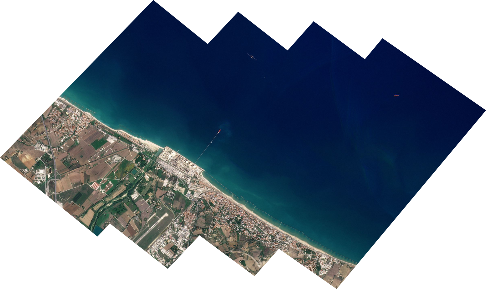
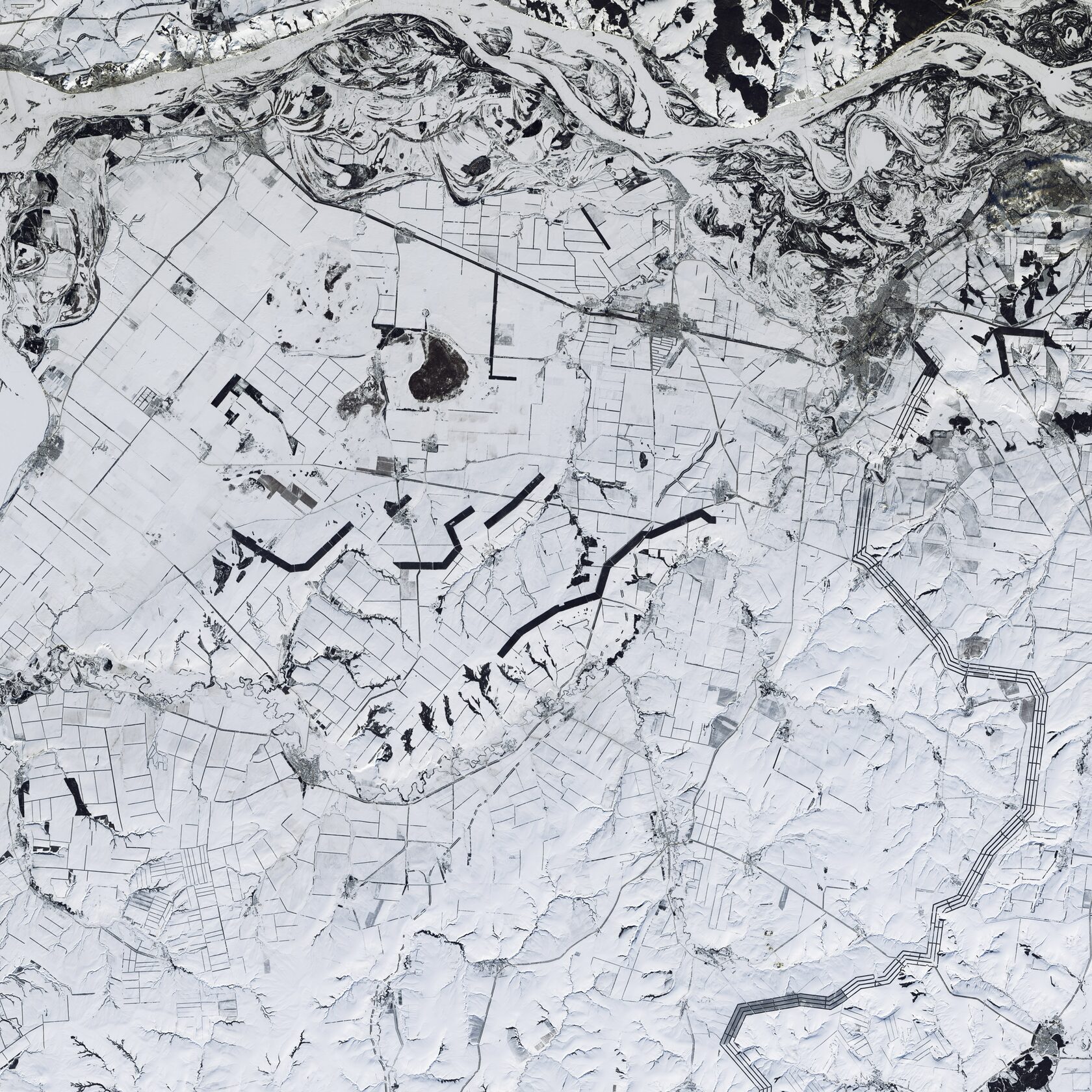
SR Data Imagery is a service provided by SR Data platform to help users search and order satellite images.
The images available through the SR Data Imagery service include:
- Ultra-high spatial resolution optical images
- Hyperspectral images with high spatial resolution
GEOSPATIAL INTELLIGENCE
01
CONDUCTING CADASTRAL WORKS
02
04
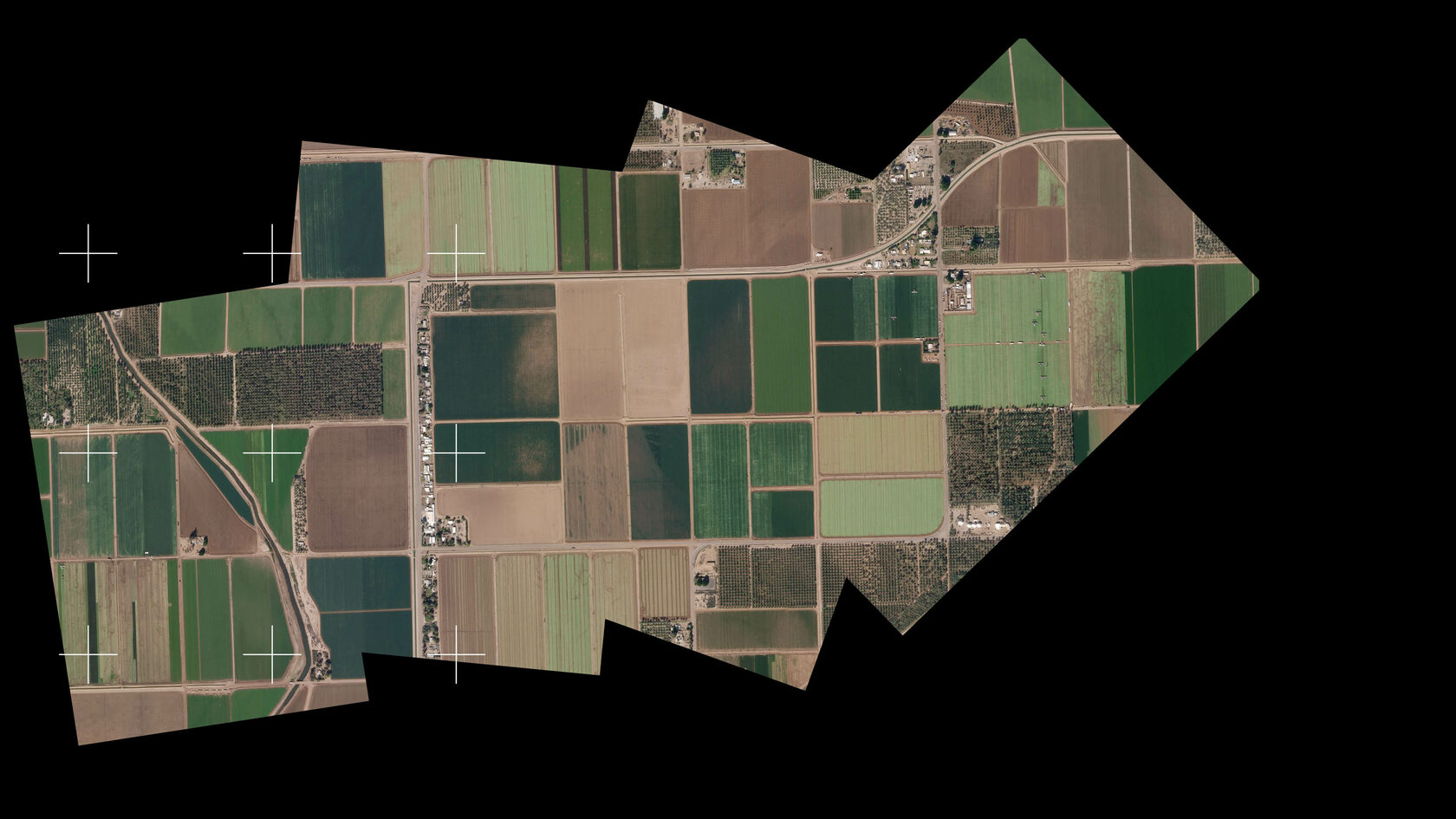
AGRICULTURAL LAND ANALYSIS
Analysis of enterprises commercial attractiveness
03
Searching for illegal mining operations
Identifying environmental contamination (pollution) and assessment of its impacts
05
06
08
Monitoring large Constructions And Industrial Facilities
analysis of the damage incurred in insurance claims
07
Competencies
Получить персональное предложение
Оставьте свои контактные данные, мы свяжемся с вами и обсудим детали
Why our company?
SR Data is a private Russian space tech-company that is part of the SR Space holding and it is a resident of the Sirius Innovative Scientific and Technological Center.
The company has an indefinite license to conduct space activities (issued by Roscosmos Corporation / license number L026-00122-77 / 00737968) and IT-accreditation (based on the decision of the Russian Federation Ministry of Finance No.AO-20230201-12006690080-3).
SR Data is also a member of the Laboratories Association for the Development of Artificial Intelligence, which collaborates with the leading universities in the country and it was supported by the Foundation for Innovation Promotion.
SR Data employees have extensive experience in developing IT-solutions, which is confirmed by high appreciation and satisfaction of customers and partners over many years.
Media about us
SR DaTA
Didn't find the answer to the question? Write to us
SR DATA